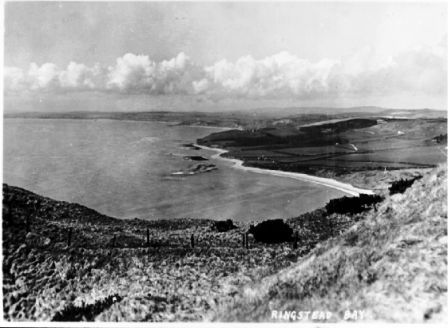
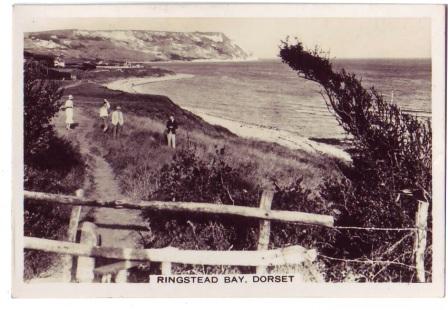
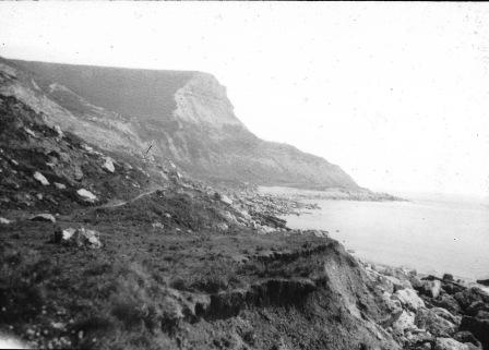
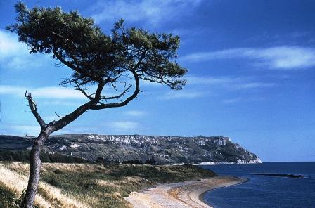
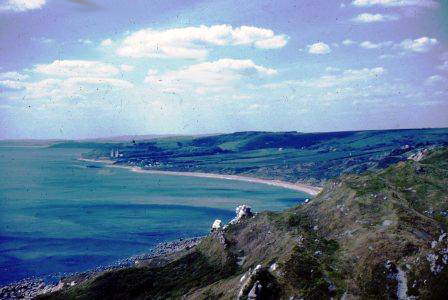
Ringstead Bay from above White Nothe
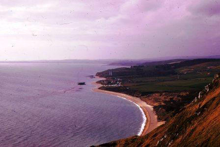
from White Nothe 24-3-1967 (MK)
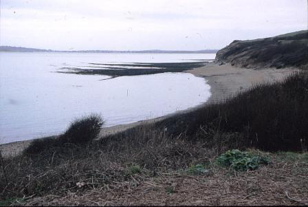
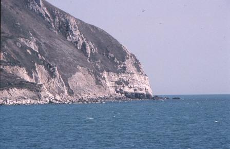
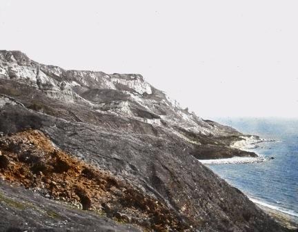
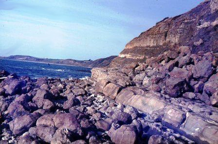
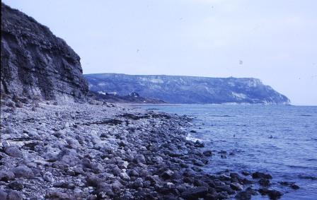
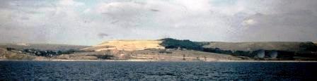
Bran Point and reef 6-3-1993 (MRH)
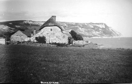
1900s
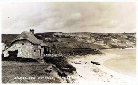
Smugglers Cottage 1930s
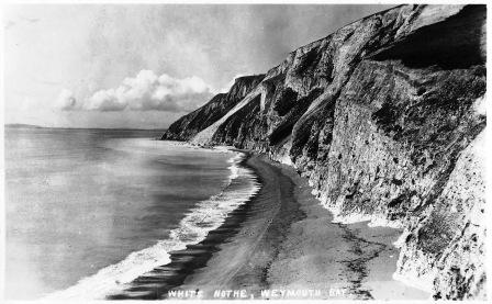
White Nothe 1930s (BNSS)
White Nothe 1930s (BNSS)
SOUTH DORSET COAST
Bran Point to RINGSTEAD to White Nothe
Exmouth to Milford on Sea
including the East Devon & Dorset World Heritage Site
1800-2000
page updated: November 8, 2011
Bran Point 1960s (JW)
1960s (JW)
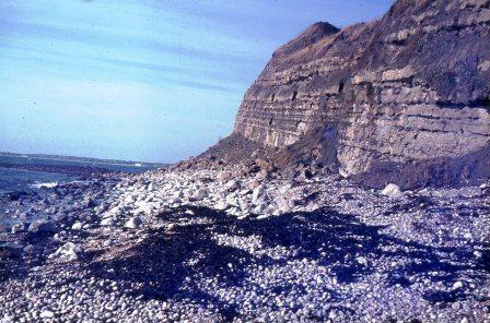
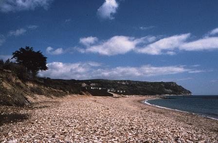
Bran Point to White Nothe 1985 (MRH)
1996 (MRH)
1950 MRH)
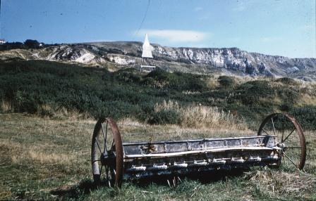
1930s
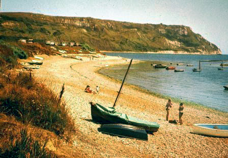
July 1990 (MRH)
May 1985 (MRH)
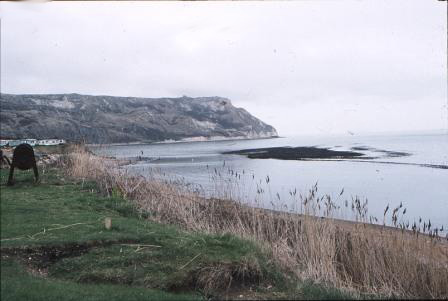
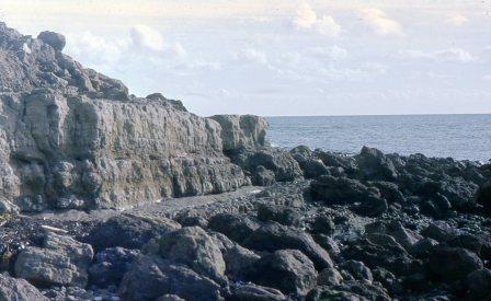
March 1993 (MRH)
< < < Osmington
> > >
1966 (MK)
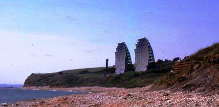
1960s from the sea, Osmington left and far right you can just see the 'radar' dishes at Ringstead (WAS)
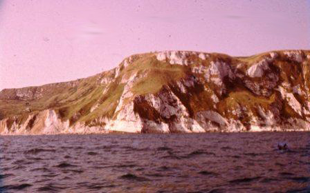
White Nothe from the sea 1961 (MK)
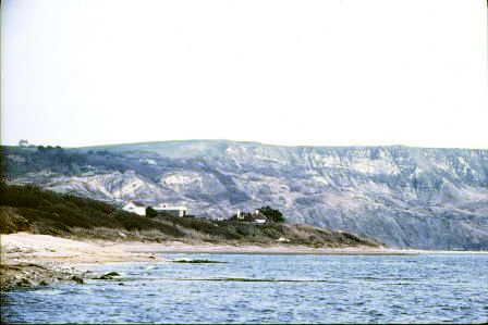
Redcliff in the far distance, the masts at Ringstead, from White Nothe 1962 (MK)
31-5-1962 (MK)
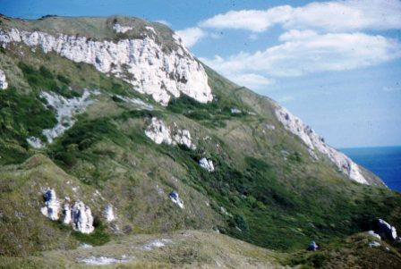
White Nothe 24-3-67 Km Clay, Greensand, Chalk (MK)
early 1900s
(MRH)
Black Head
in the far distance
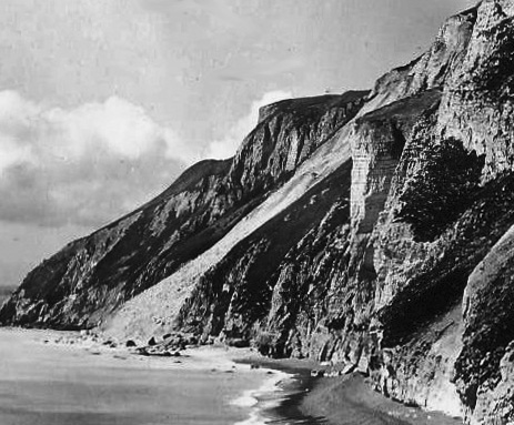
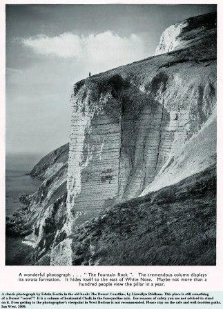
This is an Edwin Kestin (Weymouth) postcard possibly 1940s. I purchased it because of the rockfall illustrated. When I enlarged the relevant part (see far right) I realised that the pillar just east of the fall was Fountain Rock which features on the cover of a book on the Dorset Coast by Llewellyn Pridham first published 1954. Edwin Kestin took the photos for the book. Both men were practising Dorset GPs