1960s (WAS)
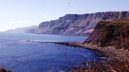
Gad Cliff 29-3-65 (MK)
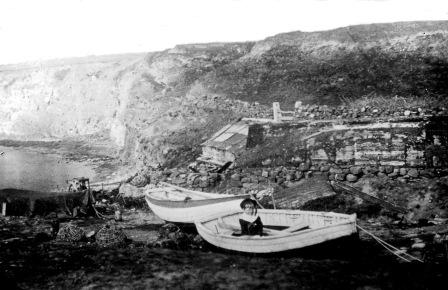
Charnel and the old lifeboat station 1930s VIS film strip (AH)
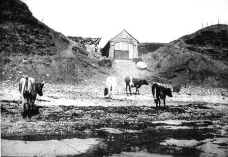
Hobarrow Bay 1915
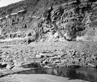
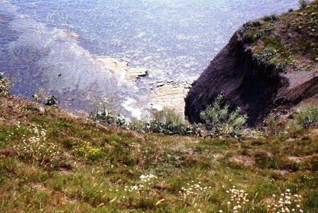
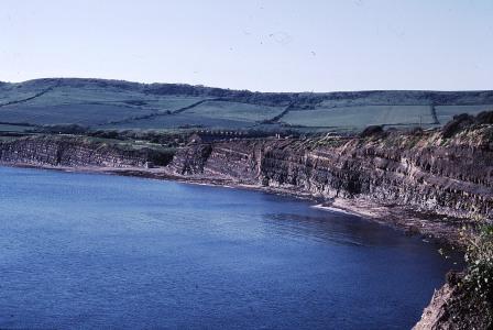
The fault is still visible today
1985 MRH
Anrofilms Educational Series slide showing alternating thin layers of Jurassic shale & limestone (1930s)
EAST DORSET COAST
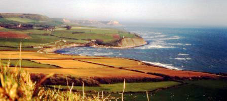
Gad Cliff to KIMMERIDGE to Clavell's Hard
Exmouth to Milford on Sea
including the East Devon & Dorset World Heritage Site
1800-2000
page updated: November 11, 2011
1977 (MT)
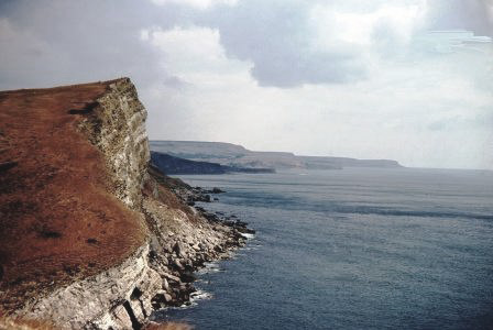
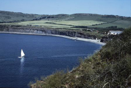
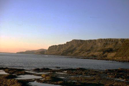
Gad Cliff from Worbarrow Tout August 1976 (MT)
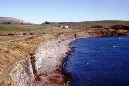
Broadbench 1990 (MRH)
1960s (WAS)
Broadbench 29-3-67 (MK)
Brandy Bay September 1993 (MRH)
Gad Cliff from Brandy Bay 1978 (MT)
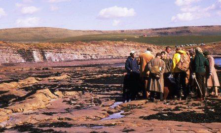
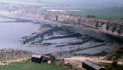
Kimmeridge Bay 29-3 -65 (MK)
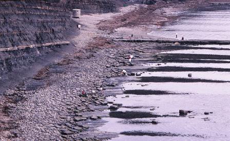
Kimmeridge Bay Ledges 29-3-67 (MK)
Gaulters Gap August 1992 (MRH)
The slipway August 1984 (MRH)
Interesting wave efffect of the ledges on the incoming tide (MK)
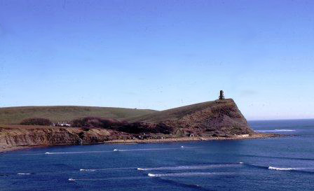
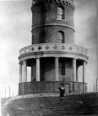
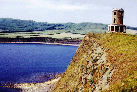
Clavell's Tower Kimmeridge BNSS MLS
This BNSS slide was labelled Gaulter's Gap Steve Etches confirmed that it is the eastern (slipway) end of Kimmeridge Bay
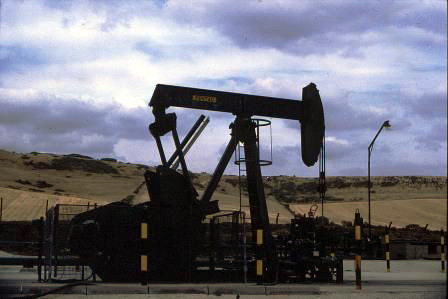
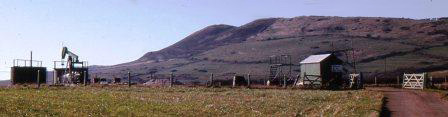
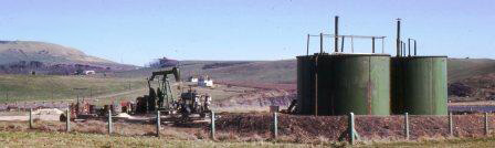
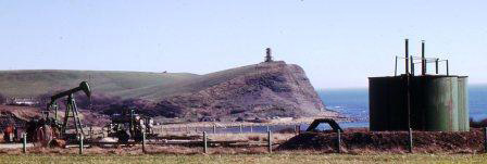
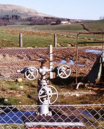
The Nodding Donkey
January 1990 (MRH)
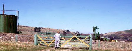
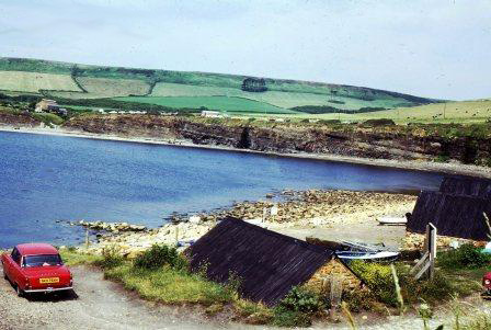
The early photographs of the oil well set up at Kimmeridge were taken by Maureen Keats (MK) 29-5-1965
< < <
> > >
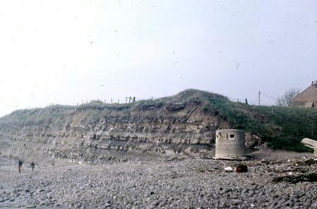
Gaulters Gap and WW2 pillbox March 1981 (MRH)
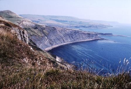
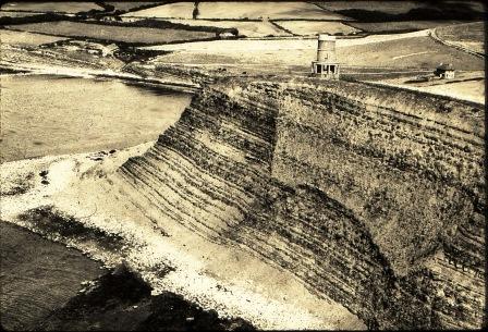
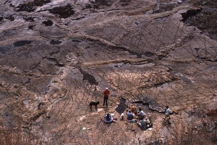
The eastward dip of the strata shows clearly June 1985 (MRH)
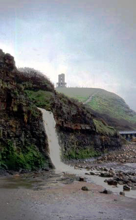
The waterfall 1977 (MT)
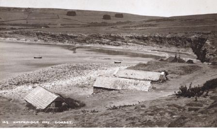
There's no pillbox on this 1930s postcard, no carpark either
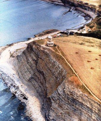
from Clavell's Tower March 1981 (MRH)
BNSS The small boy also features in the boat photograph
1960s (WAS)
July 1984 (MRH)
1960s (WAS)
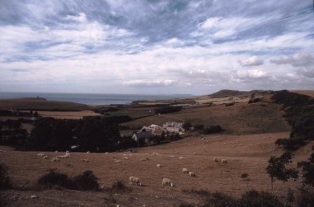
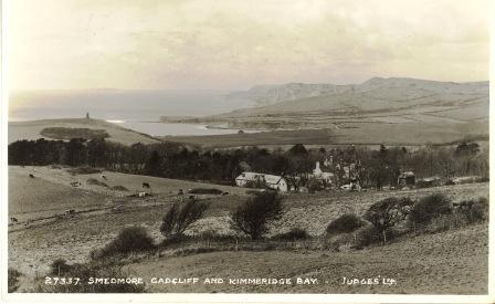
Smedmore and Kimmeridge 1940s