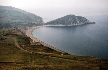
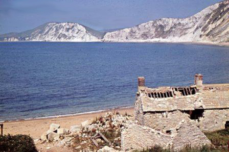
Worbarrow from Bindon Hill August 1977 (MT)
Exmouth to Milford on Sea
including the East Devon & Dorset World Heritage Site
1800-2000
EAST DORSET COAST
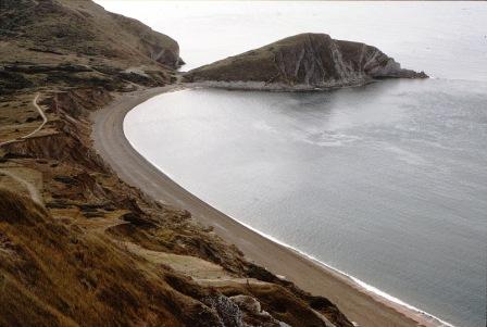
Arish Mell to WORBARROW Bay and Pondfield
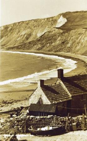
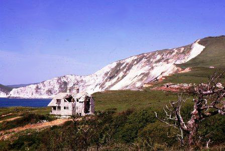
1940s fisherman's hut at Worbarrow after Tyneham requisitioned by the MoD
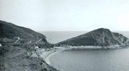
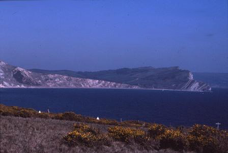
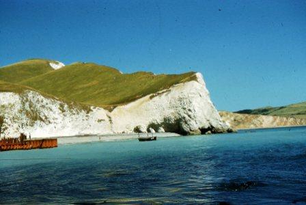
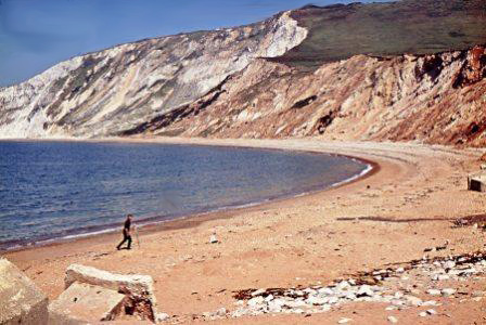
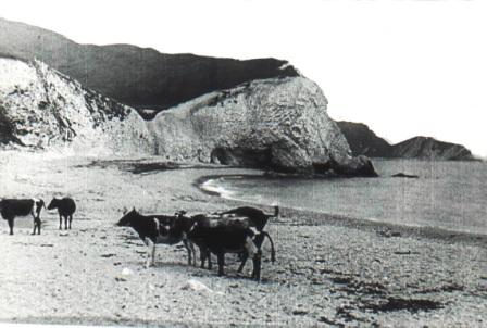
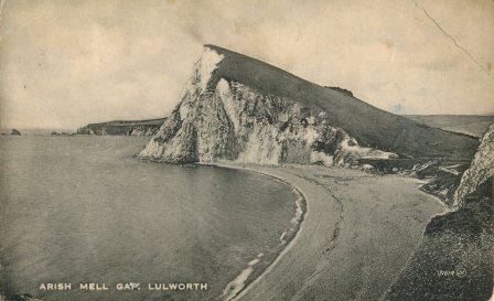
Arish Mell looking east to Worbarrow 1930s
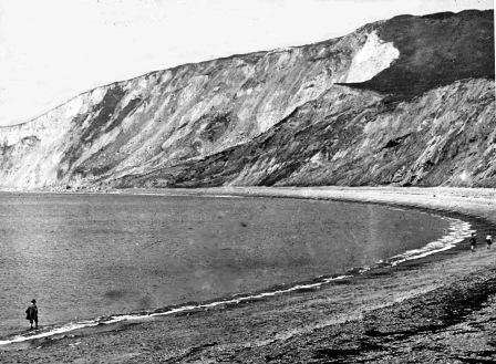
Arish Mell looking west 1930s
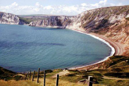
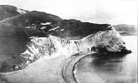
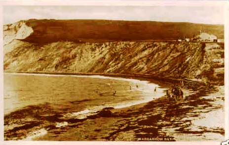
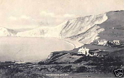
Worbarrow Bay 1930s.
BNSS MLS
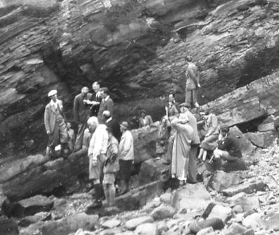
1930s group of geologists at Worbarrow Tout
Click on photograph for higher res. version
The 1930s MLS is almost identical to the photograph taken some 30 years later
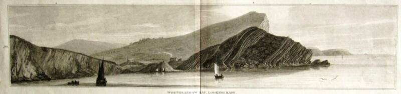
Worthbarrow Bay looking east 1816
The Coastguard Station at Warbarrow was manned from at least 1840 until 1912 when it was closed down.. As many as twelve officers and their families were stationed here. The building further back looks like a farm. Both buildings were still there when the MoD took over in the 1940s.
MRH
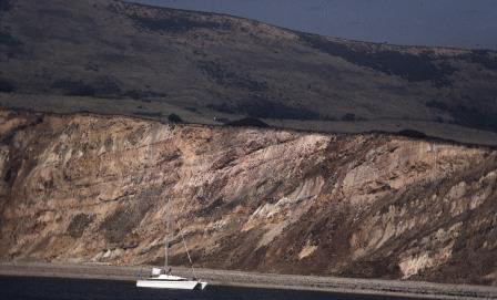
The 1920S slippage on the left has developed considerably by the time Michael took the photograph on the right in the 1980s
Click on photograph for higher res. version
page updated: December 24, 2011
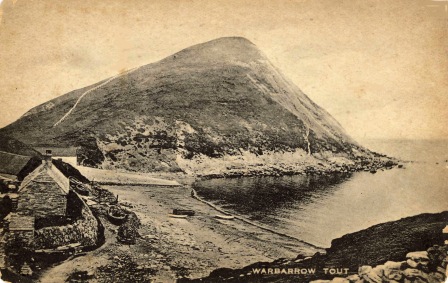
1930s
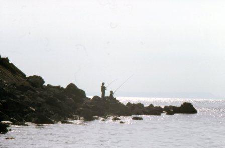
Arish Mell 20-7-1959 (MK)
Arish Mell 1961 (MK)
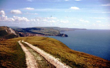
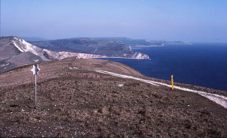
Arish Mell from Bindon Hill October 1977 (MT)
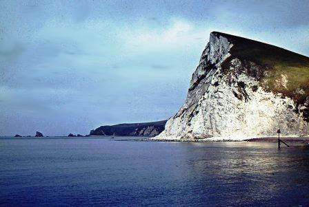
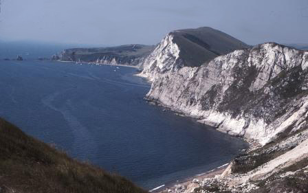
The Tout from Flowers Barrow August 1977 (MT)
and May 1982 (MT)
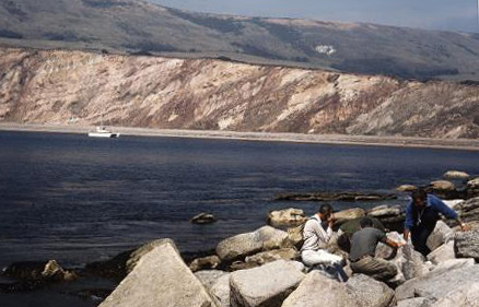
Worbarrow June 1982 (MT)
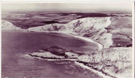
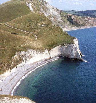
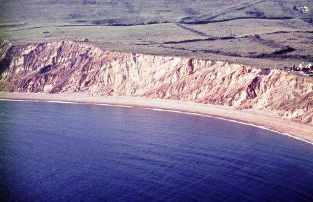
from the air: Gad Cliff, Worbarrow Tout and Bay, Arish Mell to Cockpit Head
Worbarrow and Flowers Barrow 30-5-1966 (MK)
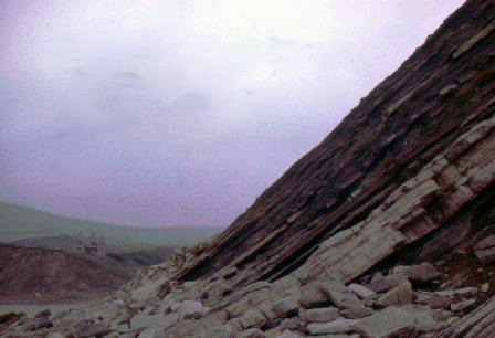
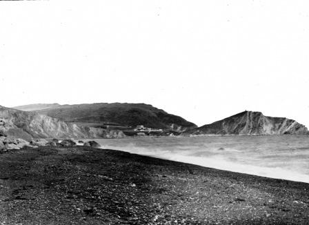
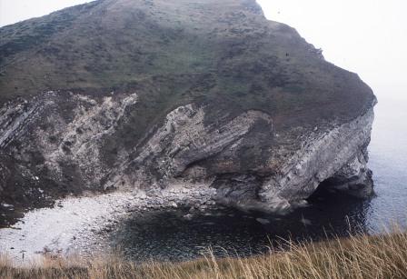
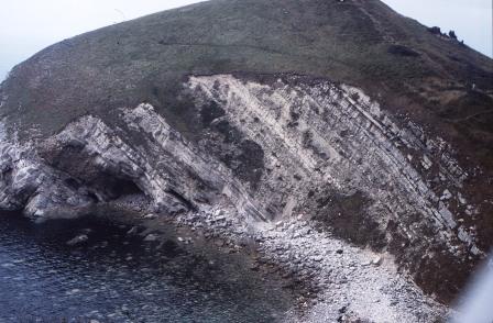
Worbarrow Bay June 1961 showing angle of the strata
and note farmhouse centre right (MK)
1890s
Fishermens' cottages June 1961 (MK)
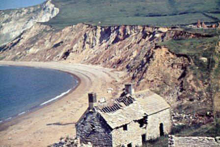
August 1979 only the foundations left (MT)
Coastguard Station from the Tout 1963 (MK)
Pondfield May 1966 (MK)
May 1984 (MRH)
May 1984 and
September 1990 (MRH)
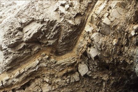
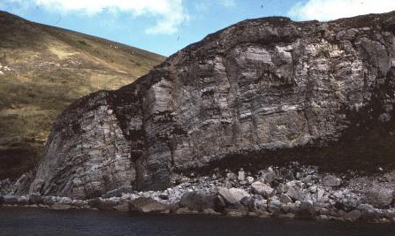
The angle of the strata is again clearly visible September 1993 (MRH)
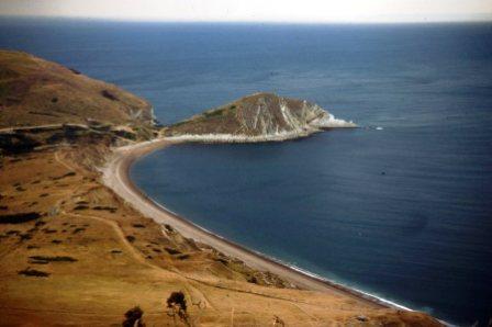
from above Worbarrow Bay September 1990:
to Arish Mell and Mupe Rocks (MRH)
The Community
Coastguard Station and farmhouse May 1966 (MK)
Webster Geological Print (DS)
1930s and a line of washing confirms that the community still exists
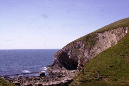
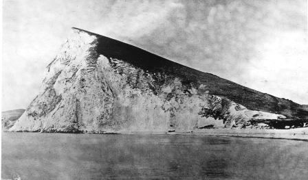
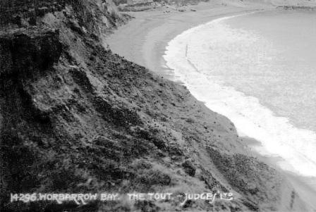
Worbarrow Tout
September 1983 (MRH)
from Worbarrow November 1984 (MRH) Pondfield
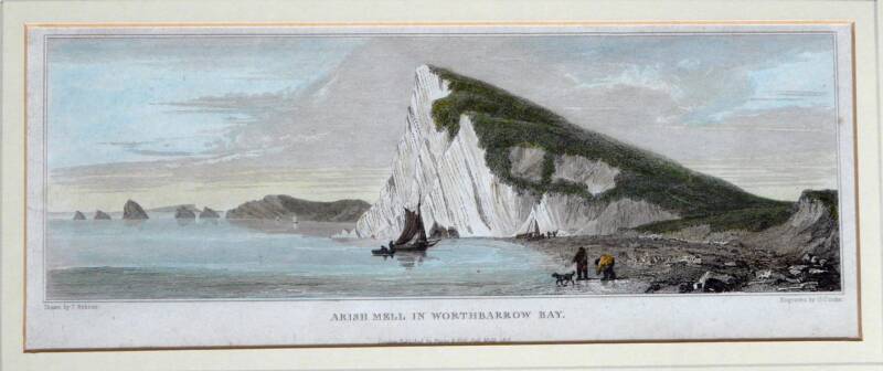
1816 Webster print (FH)
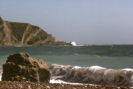
Sea-level to Mupe Rocks September 1993 (MRH)
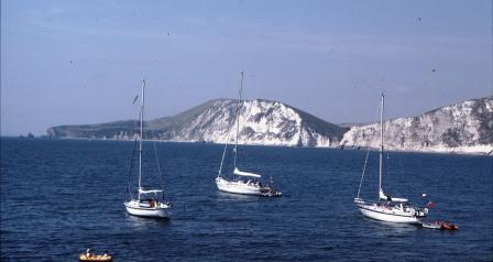
Kimmeridge > > >
< < < Lulworth
VIS film 1930s (AH)
jv1898 to Mupe rocks