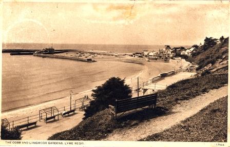
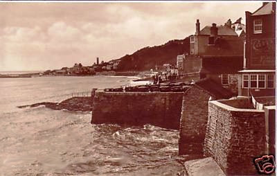
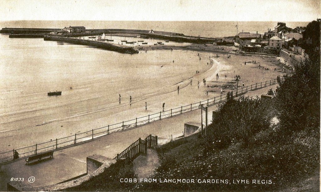
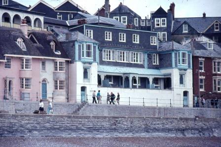
Langmoor Gardens & the Cobb 1930s
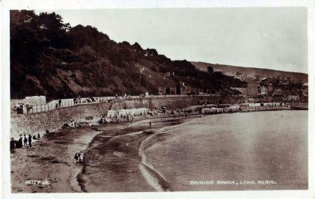
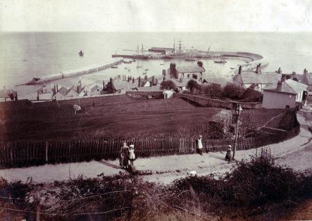
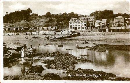
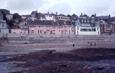
Bathing Beach late 1800s, the slope became Langmoor Gardens
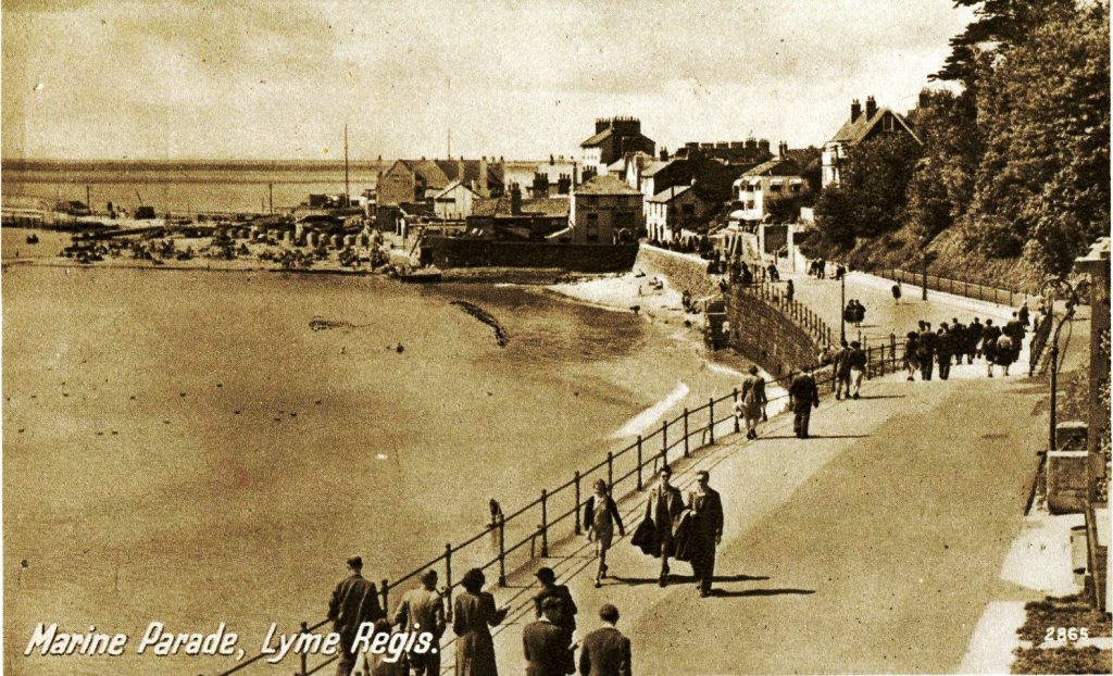
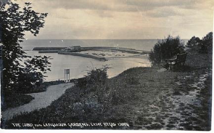
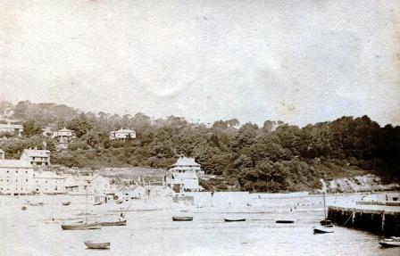
Langmoor Gardens & Promenade 1900s
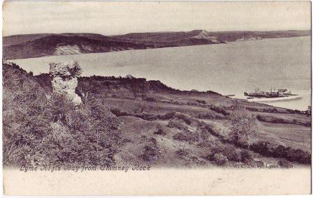
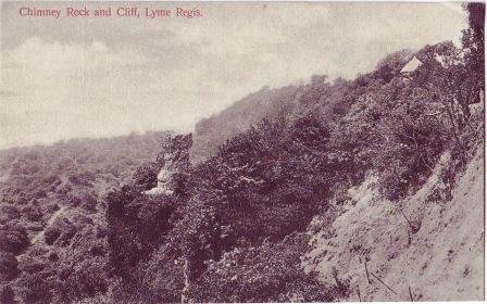
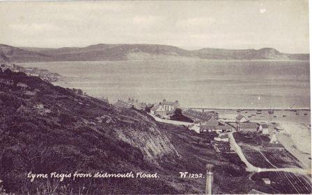
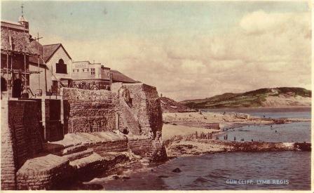
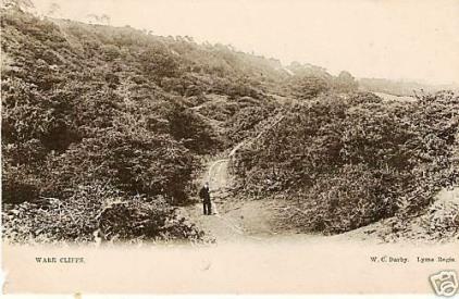
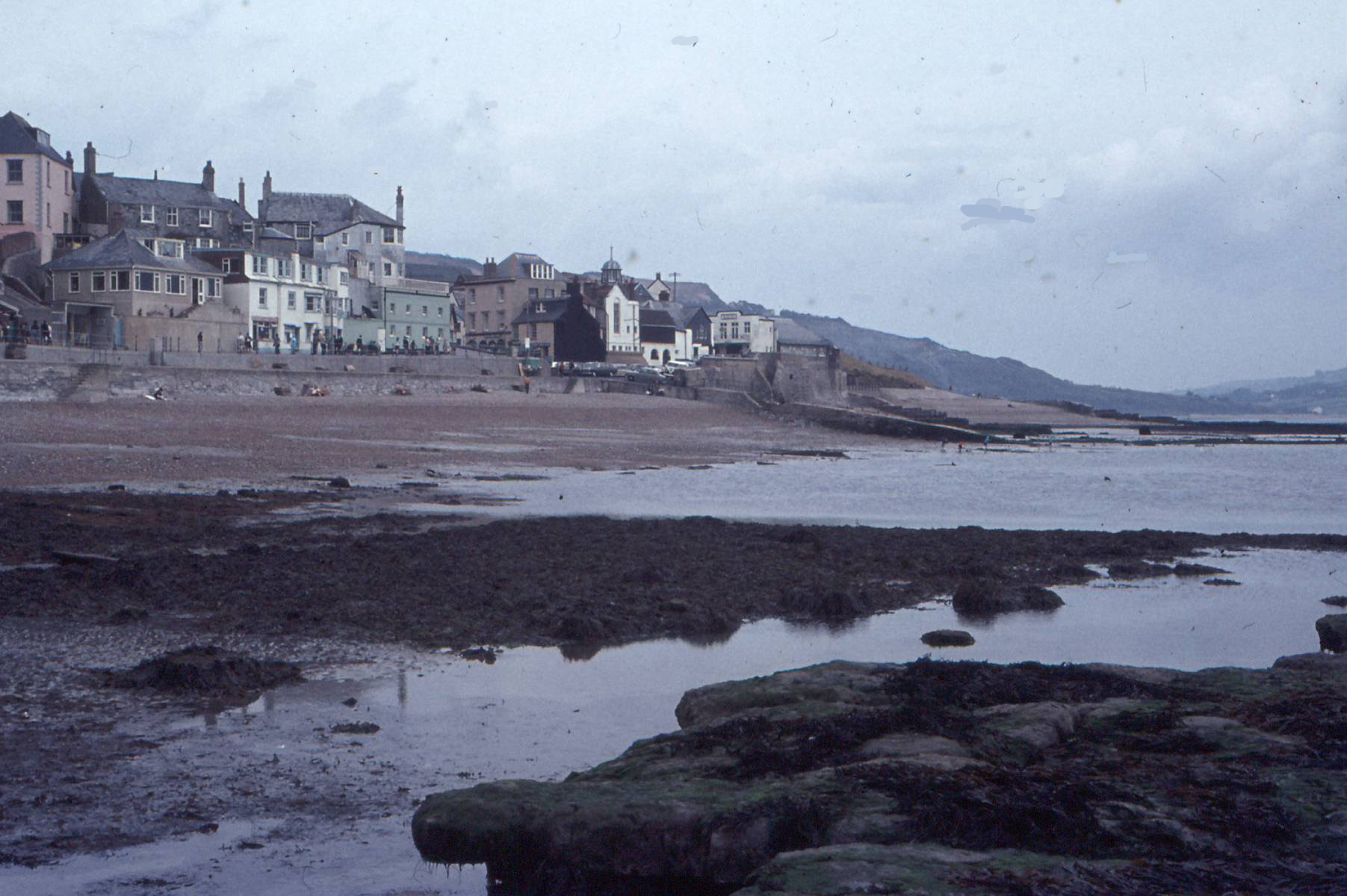
Ware Cliff, Chimney Rock and views to the east (1890-1900s) show Lyme Regis as a very different place to today. Apart from the Dowlands slip it really wasn't until speculative building in the second half of the 20th Century really got going that Lyme Regis became in danger of falling into the sea. Millions of GBP is now being spent on keeping the town in place.
As the whole area is standing on Lias Clays, with intermittent limestone beds, stability is a major issue. Building, (optimistic, or foolish) continues on the steep slopes to the west of the town.
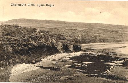
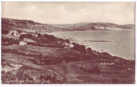
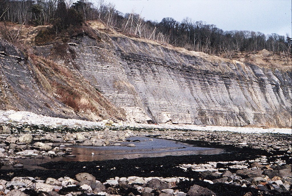
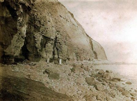
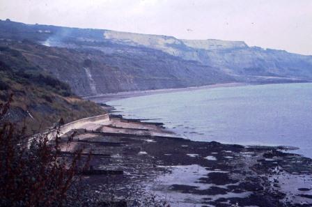
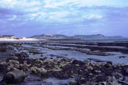
The slopes of Black Ven to the east (see last photo and Charmouth page) inhibit even the most foolhardy of speculators (so far)
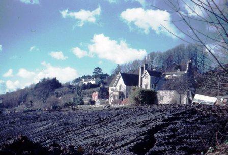
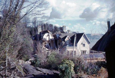
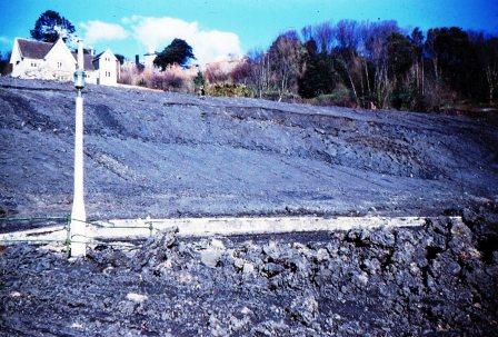
Langmoor Gardens was a major disaster in the 1960s due to building works. Fortunately the slippage became serious before they actually built houses on the slopes. The houses already in place at the top were, however, less fortunate and many were damaged. As the clays slip relatively slowly in a particular manner, (see Ian West's geology and the Dowlands paintings), everything tends to slide downhill on a gently tilting block. Such movements often leave buildings apparently intact but severely damaged none-the-less. It is possible to actually stand on such slippage and ride down the cliff as on a lift but such adventures are probably not advisable
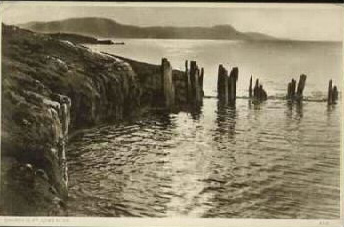
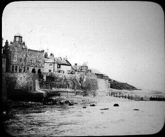
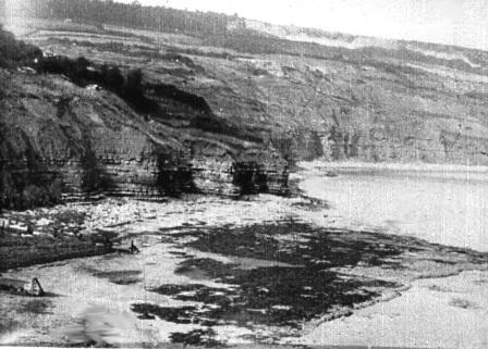
The local clays were used in brickmaking. The photo shows the brickworks on the beach. click on photo for higher-res version. Dorset geology has many different clays all of which were used for brickmaking with some also specialising in pottery (Poole, Verwood and many much smaller enterprises). The finest (ball) clays are to be found at the eastern end of Dorset and are still quarried today for porcelainware and much is exported to Europe for tile making.
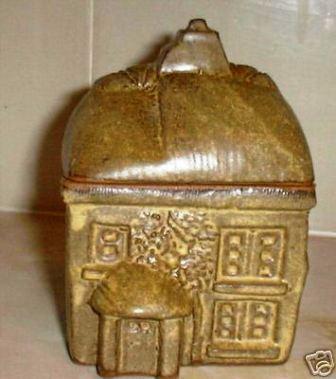
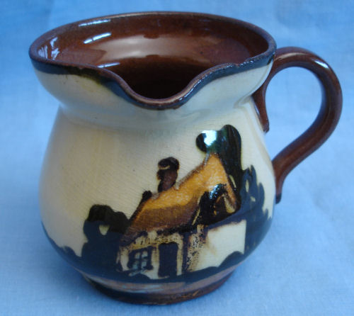
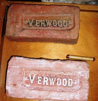
Dorset clay products top left clockwise (DS):
Charmouth cottage; Broadmayne road sign; Crown Dorset jug; Dorchester water tower; Verwood bricks; Parkstone church
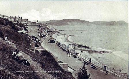
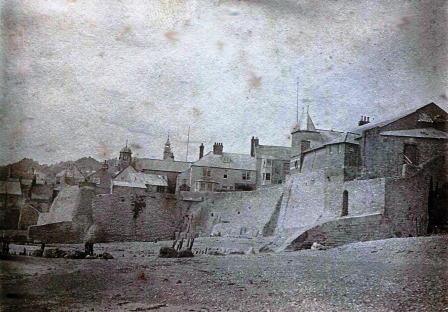
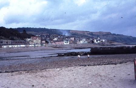
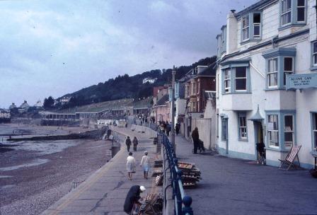
This area at the eastern end of the promenade looks very different today
looking along to Stonebarrow and Golden Cap
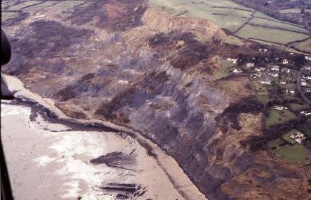
Black Ven 1989 to Charmouth PB/KM (from the coastguard helicopter)
posted 1941
published by Mrs and Miss Slater, Royal Lion Hotel
early 1890s
photographs taken by Maureen Keats
14th February 1962
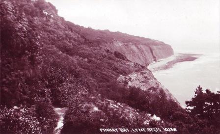
Pinhay Bay 1992 MRH
I think this might be a much earlier postcard than the postmark indicates. That looks like the brickworks chimney in the distance
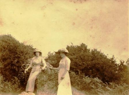
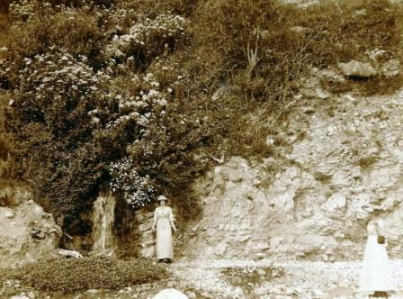
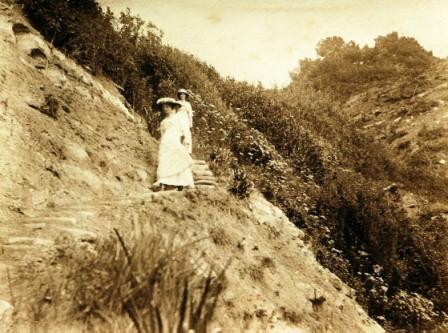
These four photographs were among 14 album prints dating from 1910.
I sent them to Richard Edmonds (Earth Science Manager Jurassic Coast Team) for verification.
He labelled them as
"And the fourth is BRILLIANT and at the fault looking along the eastern side of Pinhay. My how the cliffs have changed ...... it looks like the recession has eaten down dip because the White Lias is not as high today
1940-50s?
and in August 1962
another of the 1910 album prints
1890s
1940
1910
1860
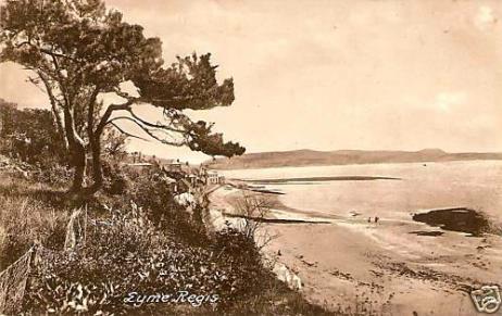
1900s
early 1890s
WEST DORSET
Pinhay Bay to LYME REGIS to Church Cliffs
Exmouth to Milford on Sea
including the East Devon & Dorset World Heritage Site
1800-2000
page updated: December 25, 2016
< < < Undercliffs
Black Ven > > >
early 1930s VIS film (AH)
Black Ven to the east beyond Church Cliffs
1972 (ER)
The town tip is smoking well in both photographs.
Left is Monmouth Beach and the collapsed rockery at the north end of north wall. (and only remodelled some 30+ years later according to Richard Edmonds)
Right is Church cliffs and beyond is Black Ven all the way to Charmouth
ER 1972 to load
1972 (ER)
these five 1972 (ER)
Lyme Regis and east to West Bay
(via Black Ven - Charmouth - Stonebarrow - Golden Cap - Seatown - Thorncombe Beacon - Eype)