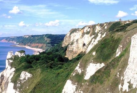
Coastal processes including the balance of deposition and erosion, were mostly undisturbed in the UK until about 200 years ago. Where they have been disrupted, for example by building groynes or seawalls, there have almost always been undesirable consequences that were predictable, but rarely foreseen.
In many countries landslides pose a serious threat to life and public services. The underlying causes of failures vary from place to place. The one feature that they all have in common is a geological history that begins with stable rocks and ends with the collapse of their weathered products
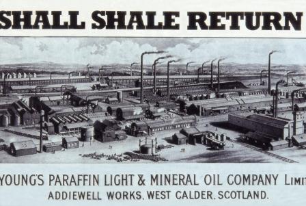
Oil shales are only seriously looked at during times of fuel crisis. In the UK the first of these was during World War 1 when part of the British Fleet remained in harbour due to a lack of fuel. Shales in the Carboniferous of Scotland were worked for over 100 years. The Kimmeridge Clay oil shales are the principle oil-source rock in the North Sea oilfields

click on images or links for additional information
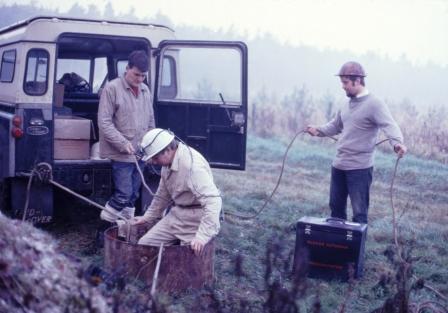
Logging Chalk, Mundford, Norfolk
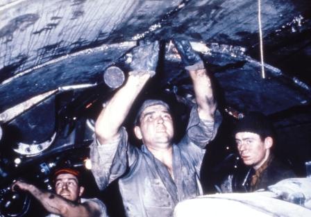
Ely-Ouse water-transfer tunnel, Cambs.
1790 Hooken landslide, Beer, Devon
2006 Spittles landslide, Lyme Regis, Dorset
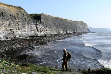
Coastal erosion at Sidmouth, Devon
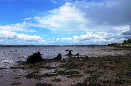
Fossil forest, Exe Estuary, Devon
The former Scottish oil industry
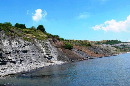
Oil shales in Kimmeridge cliffs, Dorset
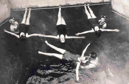
Remedial treatments, Bath hot springs
Roof-top pool at the new Thermae Spa, Bath
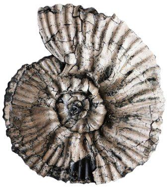
Gravesia, Kimmeridge Bay, Dorset
Chalk cliffs, Beer, Devon
The hot springs that emerge at 45-46 C at Bath Spa, Somerset are unique in the British Isles. They have probably been used for their therapeutic and presumed healing properties for several millenia, most recently by the NHS for the treatment of rheumatic ailments
o
Every application that makes use of rocks and/or their weathered products is underpinned by geological research. Site investigations, mineral workings and an understanding of landslides and coastal erosion processes require a 3-D knowledge of the rock successions. The ammonite Gravesia is one of the many fossils that are used for international correlation
C RWG
O
C RWG
O
C RWG
O
C RWG
O
C RWG
O
C RWG
O
C RWG
O
Site investigations are designed to acquire the information about ground conditions that are necessary to enable engineering works to be carried out safely and economically. In an ideal world this would include a detailed understanding of the geology of the site, but that is an aspiration rarely achieved for a number of reasons
Specialist in the application of geology and geological processes to engineering problems related to ground stability, landslides, coastal erosion, alternative hydrocarbon and geothermal energy resources, and the potential effects of global warming. First-hand experience of geological mapping, borehole logging and stratigraphical interpretation of Mesozoic, Tertiary and Quaternary successions in eastern and southern England.
If this is not the most erudite and informative geological site in the World, please let me know of a better one.
Dorset Geologists' Association Group, the most active and enthusiastic local group in the Geologists’ Association, probably.
South West and Wessex groups of the Open University Geological Society. If you want to learn about real geology, in the field and in good company in SW Britain, then look no farther than the OU.
The most important addition to the Jurassic Coast World Heritage Site since its nomination in 2001. Watch this space.
Charmouth Heritage Centre: over 90,000 visitors per year, mostly children. Much more informative than many nationally funded museums, and at a tiny fraction of the cost to the taxpayer.
The principal venue for geological research in SW England with a professionally produced journal that puts many of its UK peers to shame.
British Geological Survey (BGS): the World’s oldest national geological survey with an unrivalled earth-science database to show for it, some of which can be downloaded free.
Jurassic of Russia and elsewhere: the most informative international Jurassic site on the web. Run by enthusiastic specialists: an antidote
to the image of academic palaeontologists as boring misfits.
Only ammonites and mostly French examples, but they treat them as a national treasure and they do so in such style.
Professor David Petley’s up-to-the minute descriptions of the how, why and where of landslides worldwide.
Find the locality on the Ordnance Survey map or Google and it gives you the National Grid and GPS references, and vice versa. Eminently useful. Saves wasting time visiting mis-referenced geological sites.
Selected Links
