
Although our last trip was only last week, the August trip is early in the month. It will be led by Martin Gledhill who has local interest and knowledge.
The trip is 5 mile walk but follows a figure of eight route with the cars parked in the centre of the eight. The first loop of the walk is only a mile and a half long and would be ideal for anyone who doesn’t feel up to the full 5 miles.
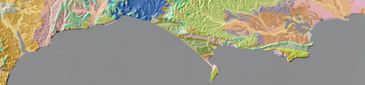
On the walk we shall see the lower Carboniferous limestone with several karst features including caves, sinkholes and a small gorge, together with Devonian sandstone and Triassic breccia. Much of the interest is in the remains of lead mining which goes back to Roman times. We shall see the remains of both open cast and deep mines, and the sites of crushing, washing and smelting the ore. We shall also see the remains of a Roman fort, township and amphitheatre. The latter is on private land but we can see it from a distance. The whole walk takes about 5 hours so a start time of 10.30 is required.
We meet at a large layby about 300 yards South East of St Hugh’s Church in Charterhouse. The map reference is ST 503 554.
To get there you turn left off the A37 at the Mendip Inn, which is 3 or 4 miles North of Shepton Mallet. You then follow the B3135, signposted Cheddar, for 7.5 miles. For some of this way you are on the straight line of the old Roman road which transported the Roman lead ingots from Charterhouse. After 7.5 miles, turn right, signposted to Charterhouse. After 2.5miles park in the large lay-by on the right, just above a dry valley full of “gruffy ground”, which is the local expression for land disturbed by lead mining. If you get to the church you have gone 300 yards too far.
Bring a packed lunch.
A different emphasis to our usual trips and in cooler weather it should be a good scenic walk!